Save Our Key Deer
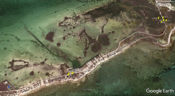
The images below show the locations (in yellow) of the water salinity sampling sites. Also shown (in blue) are the APPROXIMATE (to prevent potential theft or vandalism) locations of rain gauges used in this project. Some of the salinity measurement locations are no longer being sampled when it became obvious during the project they almost never provide a sufficiently fresh water source for wildlife. A number of new stations have also been added during the project that were newly discovered by the volunteer samplers as relatively steady fresh water sources.